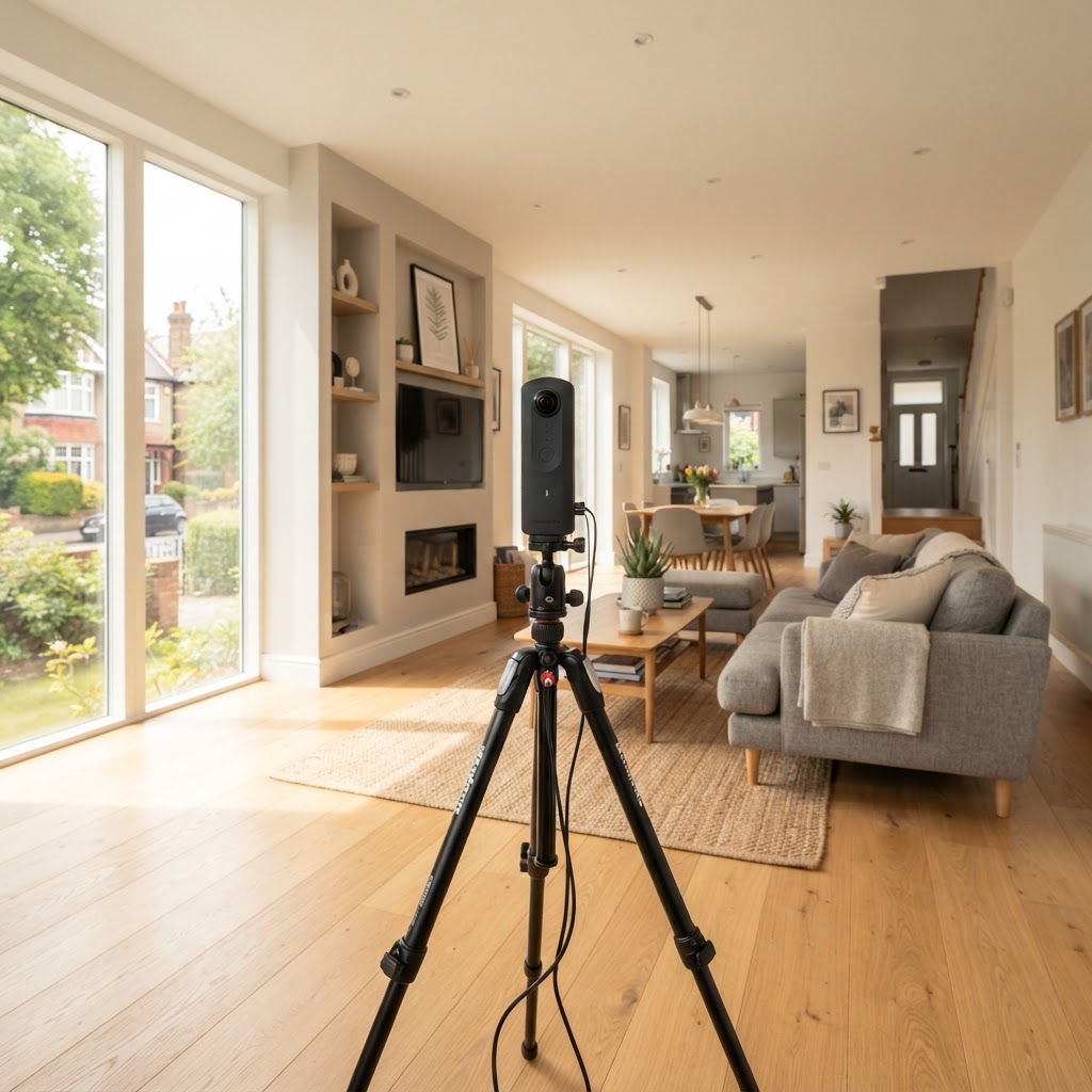
3D Virtual Tours vs 360 Walkthroughs: What Works Best?
Discover the differences between 3D virtual tours and 360 photo walkthroughs, their ideal use cases, and how spatial data protects Midlands landlords.
For estate agents, landlords, and property asset managers across the West Midlands, digital property presentations are no longer an optional luxury. With tenant demand shifting and cross-regional relocation from London and the South East toward Birmingham, Coventry, and Wolverhampton at high levels, the way a property is inspected and showcased online determines how fast it lets or sells.
However, the property sector frequently conflates two distinct technologies under the single banner of 'virtual viewing': standard spherical 360° photo walkthroughs and true 3D spatial digital twins. While both formats allow remote viewers to pan around an interior on a smartphone or desktop, their underlying technical architecture, practical reliability, and long-term utility differ substantially.
Choosing the wrong format can lead to wasted marketing budgets, missed buyer leads, or weak visual records when assessing condition or tenancy handovers. This guide breaks down the core differences between panoramic 360° tours and true 3D digital twins, examining where each technology excels and how landlords and property professionals can deploy them effectively.
Understanding the Core Technology: Spherical Panoramas vs 3D Spatial Capture
To evaluate which format fits your workflow, it helps to understand how each capture system records physical space.
+-----------------------+-------------------------------------------------------+-------------------------------------------------------+
| Feature               | 360° Spherical Photo Walkthrough                      | 3D Digital Twin (Spatial / LiDAR Capture)             |
+-----------------------+-------------------------------------------------------+-------------------------------------------------------+
| Data Captured         | 2D equirectangular photographs wrapped in a sphere    | High-resolution imagery combined with 3D mesh points  |
| Spatial Geometry      | None (visual estimation only)                         | Full dimensional measurement data (within 1% accuracy)|
| Navigation Model      | Node-to-node jumping between fixed tripod points      | Seamless continuous movement and dollhouse overview   |
| Schematic Floor Plans | Drawn manually or approximated via third-party draft  | Extracted directly from spatial point-cloud data      |
| Best Applied For      | Budget marketing listings and basic social previews   | Asset records, RICS surveys, and deposit compliance   |
+-----------------------+-------------------------------------------------------+-------------------------------------------------------+
1. 360° Spherical Photo Walkthroughs
A standard 360° tour is created by mounting a dual-lens spherical camera (such as an Insta360 or Ricoh Theta) on a tripod in the centre of a room. The camera takes two ultra-wide exposures and stitches them together into an equirectangular flat image.
Software then wraps this image around a virtual sphere. When viewing the tour, you stand in the centre of that sphere and look around. Moving to the hallway or bedroom requires clicking a 'hotspot' to leap directly to the next standalone sphere. There is no real depth data captured—the software simply presents a series of panoramic photographs linked together like stepping stones.
2. True 3D Digital Twins and Reality Capture
A true 3D virtual tour—powered by reality-capture platforms such as Matterport or specialised spatial scanners—operates fundamentally differently. Alongside high-definition photography, the hardware uses structured infrared light or LiDAR sensors to capture tens of thousands of spatial depth points every second.
This spatial data constructs an accurate, dimensionally scaled 3D wireframe mesh of the building. The panoramic photography is then digitally layered over this 3D model. Viewers are not confined to isolated photo bubbles; they can zoom out into a cutaway 'dollhouse view', inspect the floor-to-floor layout, and use digital measurement tools to measure ceiling heights, door clearances, and wall lengths within 1% accuracy.
Feature Comparison: Where Each Format Performs
Spatial Navigation and the 'Dollhouse' Perspective
Standard 360° tours are visually flat. While they show room finishes clearly, remote prospects often struggle to understand how rooms connect—particularly in complex properties such as extended Victorian terraces in Kings Heath, converted industrial lofts in Birmingham’s Jewellery Quarter, or multi-storey HMOs in Coventry.
True 3D digital twins provide an instant, cutaway isometric perspective. Viewers can see through exterior walls, understand chimney breast alignments, and verify how communal hallways link to private rooms. This level of clarity eliminates the spatial disorientation that often causes prospective tenants or buyers to abandon a listing.
Dimensional Accuracy and Remote Measuring
One of the most practical features of true spatial capture is the digital measuring tool. Because the system records physical depth, users can measure alcoves, window reveals, and floor widths directly within their browser.
- For Prospective Tenants & Buyers: It answers immediate practical questions—such as whether a king-size bed fits between the chimney breast and the wall, or if a specific fridge-freezer will fit under existing cabinetry—without requiring a second physical visit.
- For Landlords & Contractors: When coordinating off-site refurbishments or maintenance, remote tradespeople can check radiator dimensions, pipe runs, or flooring areas accurately before quoting.
Production Speed and Equipment Overhead
Basic 360° tours hold a clear advantage in capture speed. A landlord or letting agent using a consumer 360 camera can walk through a standard two-bedroom semi-detached house in Dudley or Walsall, capture 8 to 10 nodes, and have a shareable link ready in under 20 minutes.
Spatial 3D scanning requires more systematic alignment. Scans must be taken every 1.5 to 2 metres to maintain continuous line-of-sight and create an unbroken mesh, particularly around tight staircases and doorways. A thorough 3D scan of the same two-bedroom house typically takes 45 to 60 minutes on-site, requiring professional hardware to ensure clean data processing.
When to Use a Standard 360° Walkthrough
A simple panoramic walkthrough remains an effective, budget-friendly tool under specific operational circumstances:
- Fast-Turnaround, Low-Budget Lettings: When marketing standard one-bedroom urban apartments in high-demand rental pockets where tenants primarily want to confirm room condition before booking a physical viewing.
- Routine Mid-Tenancy Visual Checks: Quickly recording visual updates during routine visits to supplement a standard written mid-term inspection report.
- Social Media Previews: Creating short video fly-throughs or interactive social posts to build preliminary interest ahead of an open house.
If the primary objective is simply showing that a room is clean and modern, a basic 360° photo tour delivers reasonable value with minimal production overhead.
When a True 3D Digital Twin Is the Superior Choice
While basic walkthroughs work for surface marketing, true 3D spatial capture is vastly superior when precision, legal documentation, or remote transactional confidence are required.
1. Attracting High-Calibre and Relocating Tenants
The West Midlands rental market continues to see steady influxes of corporate professionals, NHS medical staff moving to Queen Elizabeth Hospital or Walsall Manor, and university academics. These tenants frequently relocate from other regions or abroad and need to make binding rental decisions without visiting in person.
A true 3D digital twin gives remote prospects the spatial confidence to sign a tenancy agreement unseen. The ability to verify room depths and explore an authentic representation of the interior removes ambiguity and substantially reduces void periods.
2. High-Stakes Property Inventories and Tenancy Handover Evidence
Under the Renters’ Rights framework and the statutory tenancy deposit schemes (TDS, DPS, mydeposits), landlords bear the burden of proof when claiming deductions for damage. Standard flat photographs and basic 360 photo spheres frequently fail deposit adjudication because they lack resolution, precise spatial positioning, or chronological verification.
A true digital twin provides an incontrovertible visual record of a property’s exact physical condition at check-in. By combining high-definition 3D walkthroughs with itemised written schedules—such as Skyline’s ThreeSixty Inventory approach—landlords capture every ceiling, skirting board, and fixture in its precise context. If a dispute arises at check-out, adjudicators can navigate the digital twin to see exactly how the property was handed over.
To discover how interactive walkthroughs fit into full inventory and check-out workflows, explore our dedicated property inventory services.
3. Integrating with Professional Surveying and Defect Tracking
When assessing structural defects, older housing stock, or planning major improvements, spatial models allow surveyors and retrofit professionals to examine properties remotely. By pairing a 3D digital model with professional building surveys—as offered in our RICS survey packages—surveyors can re-examine difficult-to-reach spaces, measure structural spans, and cross-reference damp readings against high-resolution imagery long after leaving the site.
Practical West Midlands Application
Property characteristics vary widely across the West Midlands, and local property layout influences which capture technology delivers the best return.
Victorian and Edwardian Terraces (Stirchley, Bearwood, Wolverhampton)
Solid-wall Victorian terraced homes frequently feature long off-shoots, cellar access, and converted attic bedrooms. In these layouts, basic 360° tours often fail because jumping between disconnected spheres gives no sense of floor level changes or ceiling slopes. A 3D digital twin provides an accurate cross-section that clarifies converted loft headroom and basement access for prospective buyers and contractors.
Multi-Unit Developments and HMO Conversions (Coventry, Solihull, Stafford)
In licensed HMOs and converted blocks, spatial documentation is invaluable for regulatory clarity. A full 3D scan clearly maps fire doors, escape routes, protected stairwells, and emergency signage in relation to room layouts. Furthermore, accurate square-metre measurements extracted from the spatial scan can be cross-referenced against local council HMO minimum bedroom size standards.
If you manage multi-unit properties or shared accommodation, pairing spatial tours with our comprehensive landlord compliance tracking ensures your physical assets match licensing documentation.
How to Prepare a Property for 3D Virtual Capture
To produce an accurate, professional digital twin, thorough on-site preparation is essential. Use this checklist before the technician arrives:
- [ ] Maximise Sightlines: Open all interior doors fully to ensure the scanner can record transition thresholds and connect adjacent rooms smoothly.
- [ ] Standardise Lighting: Turn on all ceiling lights, lamps, and under-cabinet illumination, and open all window blinds to eliminate deep shadows.
- [ ] Clear Floor Areas: Keep floors completely clear of shoes, boxes, and temporary clutter so the scanner can map floor perimeters accurately.
- [ ] Conceal Personal & Sensitive Data: Store away family photographs, financial correspondence, bank statements, and identifying documents to protect privacy in public marketing tours.
- [ ] Secure Pets & Vacate Rooms: Ensure no occupants or pets walk through spaces during scanning, as moving objects create visual 'ghosting' artifacts that break spatial alignment.
How Skyline Technical Services Can Help
Skyline Technical Services provides industry-leading reality capture, visual documentation, and surveying solutions throughout Birmingham, Coventry, Wolverhampton, Walsall, Dudley, Solihull, and Stafford.
Whether you need immersive commercial marketing, an accurate digital twin for structural planning, or an evidentiary foundation for tenancy management, our services deliver:
- Professional 3D Reality Capture: High-definition digital twins with interactive dollhouse views, measurement tools, and virtual tour links ready for Rightmove, Zoopla, and bespoke property portfolios.
- ThreeSixty Inventory Integration: Complete check-in and check-out reports combining AIIC-standard written schedules with 360° visual evidence to give West Midlands landlords total deposit dispute protection.
- Integrated Technical Services: Streamline your portfolio management by combining digital capture with statutory EPC assessments and comprehensive RICS condition reports in a single site visit.
Learn more about our immersive spatial capture on our 360 virtual tour service page, check upfront pricing on our pricing guide, or request a tailored consultation via our quote form.
Frequently Asked Questions
Can prospective tenants take reliable room measurements inside a 3D virtual tour?
Yes. Unlike standard 360° panoramic photos, true 3D digital twins capture precise spatial coordinate data alongside visual photography. When viewing the model online, users can select the digital measurement tool to measure walls, floor spaces, windows, and ceiling clearances. Professional-grade reality capture typically achieves measurement accuracy within 1% of actual dimensions.
Will a 360° virtual tour stand up as evidence in a tenancy deposit dispute?
A basic series of unverified 360° photos rarely provides sufficient proof on its own. However, when high-resolution 360° imagery is systematically date-stamped, securely hosted, and integrated into a professional written inventory schedule that records itemised condition and cleanliness ratings, it serves as compelling evidence. Tenancy deposit adjudicators (such as the TDS or DPS) require clear, unambiguous comparative proof between check-in and check-out, which structured 360° inventories provide.
How long does it take to scan an average three-bedroom home?
A basic 360° photo walkthrough of an average three-bedroom home takes roughly 20 to 30 minutes to photograph. A comprehensive 3D digital twin—which maps the spatial mesh, structural connections, cupboards, and exterior entryways—typically takes between 60 and 90 minutes on-site, depending on property layout and staging.
Do I still need 2D floor plans if I have a 3D digital tour?
Yes, 2D floor plans remain essential. Many property hunters on portals like Rightmove and Zoopla scan 2D floor plans first to assess overall dimensions and room flow before opening interactive tours. Fortunately, true 3D digital twins allow highly accurate, RICS-compliant 2D schematic floor plans to be generated directly from the spatial scan data, saving the time and expense of commissioning a separate measuring service.
Ready to take action?
Get a fast, no-obligation quote from our accredited team — covering EPCs, surveys, retrofit and more.
Related Articles
360° Virtual Tours for Landlords: The Ultimate Compliance Shield
Discover how 360° virtual tours protect West Midlands landlords from deposit disputes and ensure compliance with the Renters' Rights Act 2025.
360° Virtual Tours for Estate Agents: A Complete Marketing Guide
How estate agents across the West Midlands can use 360° virtual tours to win more instructions, reduce void periods, and attract remote buyers.